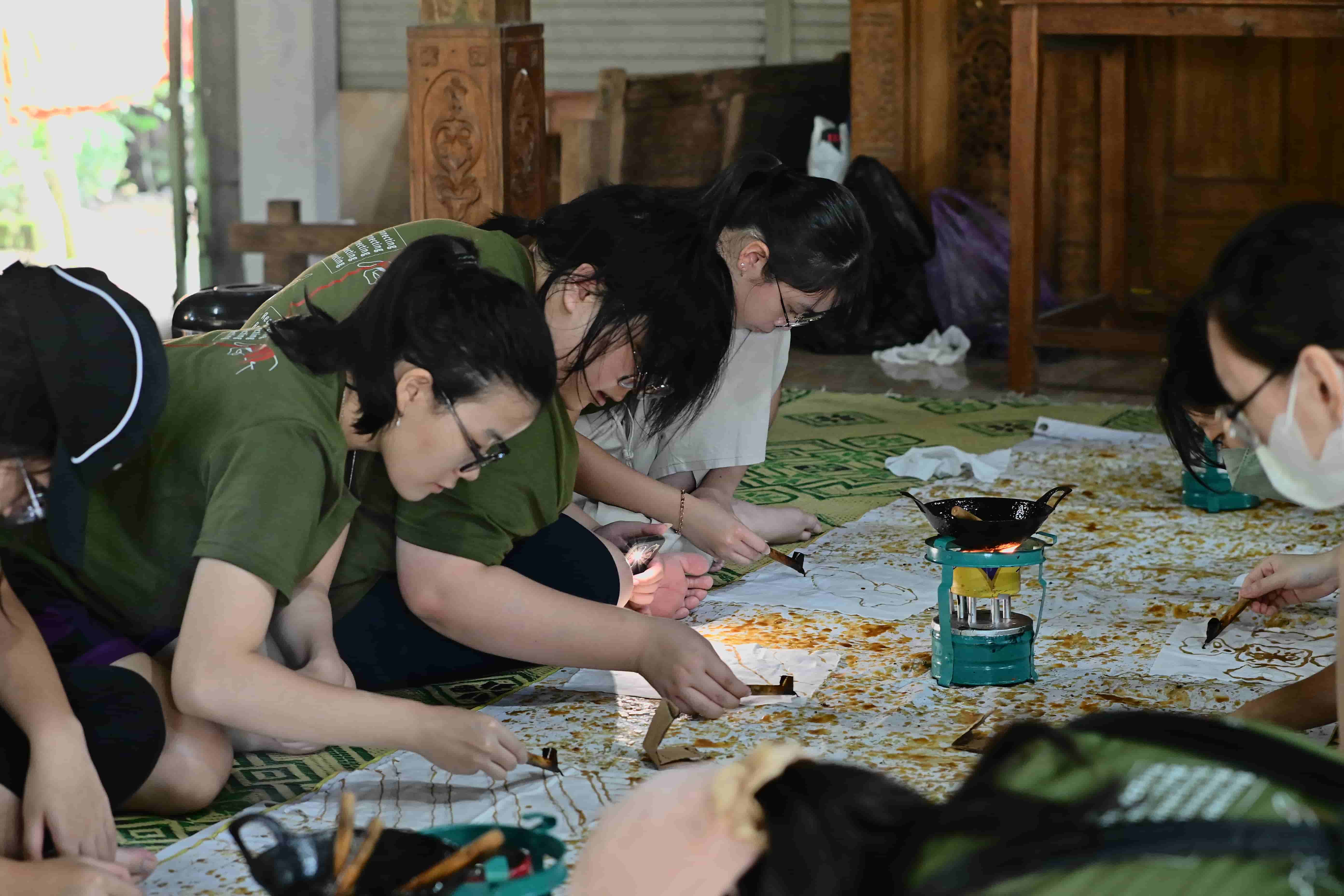
2 Day 1 Night
Educational Village Homestay
IDR 250.000

KKN UNY 2026
18 September 2026
Gabugan Tourism Village
37 times
Real work college students (kyakarta) university of yogyakarta (uny) carry out a work program "a travel marker for disaster mitigation" by making and launching information materials to the top of the mountain in gabugan, kalurahan donokerto, kapanewon turi, sleman district. It is a form of students' contribution to provide community and visitors with the necessary tools to provide the sustainable development goals (SDGS) : industry, innovation, and infrastructure. The program is carried out in a series of nonviolent activities from July 20 to September 20, 2026. The construction of a sign on the background is the condition of gabugan villages in the mountainous region of the volcanic slope, with no access to physical information that directly gives information about the distance from a certain point to the volcanic summit. To address the need, students conducted field observations, interviews and discussions with the community and related parties, and then determined the location of the inauguration based on health issues, ease of access, security, environmental conditions, and compatible with plang functions. Distance information is determined with the help of a digital map application, whereas the coordinates are verified using GPS or Google maps. Next, students designed plang designs, prepared tools and materials, made simple construction, to perform installation at four designated points of location.
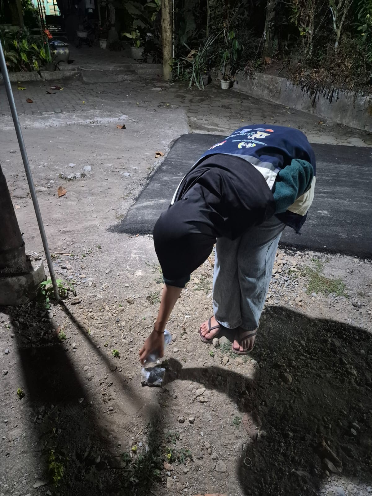
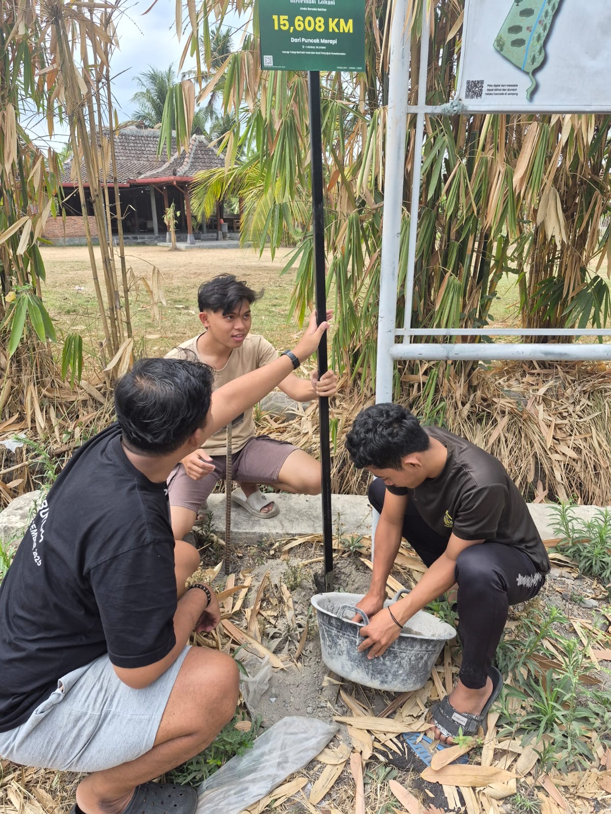
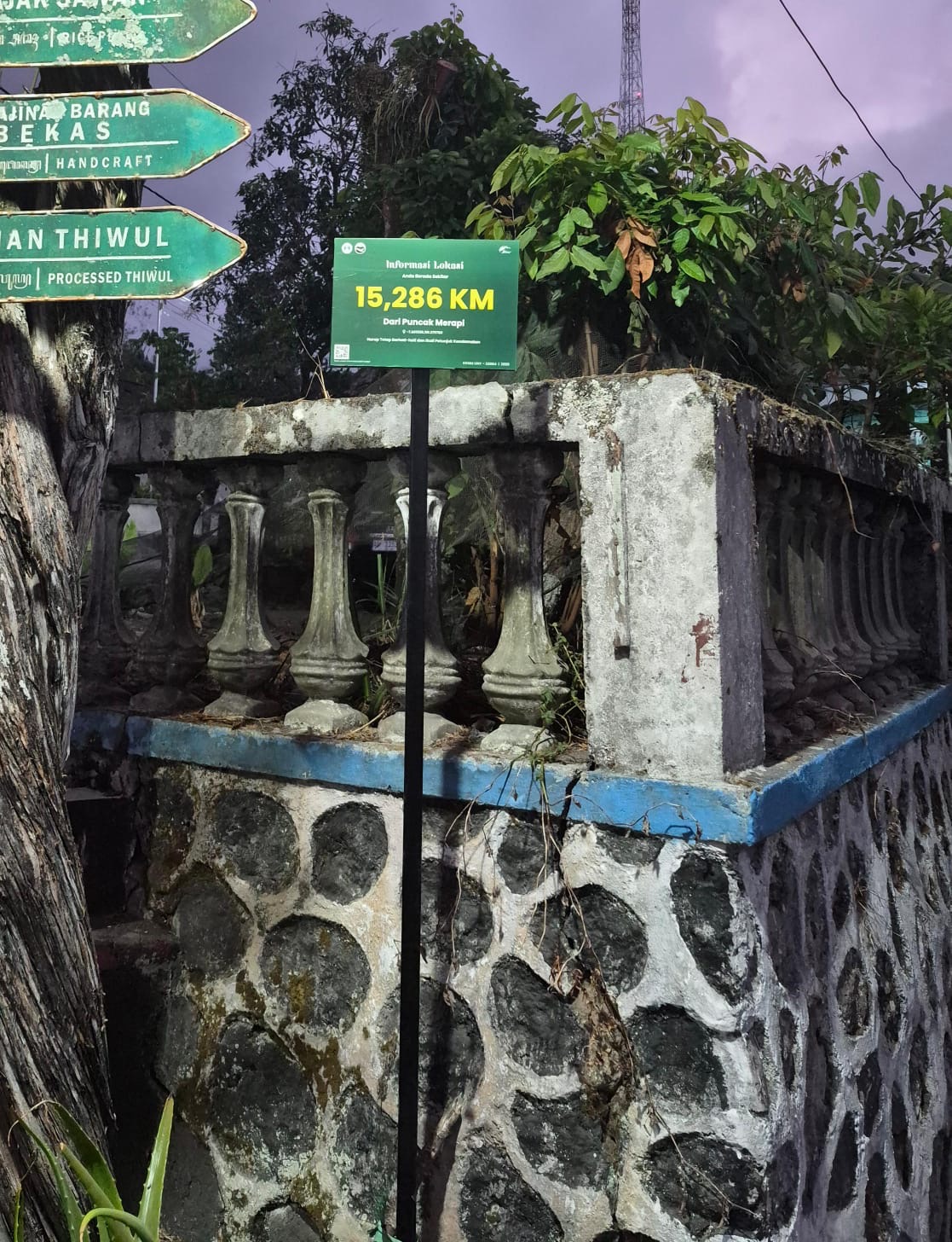
The result was a four-plang of information that reached the top of the flaming mountain that had been fixed ata designated location in gabugan village. Construction was done in stages, ranging from point of point to point of marking, foundation excavation, construction and positioning of the plang, to foundation foundry and construction stability. The plaque is designed so that information can be both visible and easily read by communities and visitors. Besides providing information on the position of gabugan village on the volcanoes, the presence of the plang also gives visual added value and can strengthen the identity of the region asa region having a geographic relation to the volcanic mountains. "The hope, the sign can provide information to benefit communities and visitors as well asa reminder of the importance of identifying the environment and the potential for transmigration." Azizah said as chief executive officer.
This activity aligns with SDGS point 9: industry, innovation, and infrastructure, especially through the providing of functional simple information infrastructure that can be used by communities ona sustainable basis. Plang is also a form of student science application, especially in the aspects of planning, selection materials, simple construction, strength, stability and the installation of environmental tools. The existence of plang is hoped to be used and cared for by communities and thus can provide long-term benefits asa medium of information, visual marker, and educational tools on the geographic character and potential of transitory mountains.
Gabugan Tourism Village is a community-based tourism village that offers a natural rural atmosphere. Established in 2004, Gabugan Tourism Village is an independ
Gabugan Tourism Village recently held its Annual Work Meeting as a strategic step to determine organizational direction and tourism development programs for 202
In today’s rapidly growing urban and digital world, experiencing life in a rural village has become increasingly valuable. Gabugan Tourism Village offers visito
The 2023–2025 Performance Report of Gabugan Tourism Village highlights the positive impact of community-based tourism on local economic growth, social participa
On December 18, 2024, Gabugan Tourism Village celebrated its 20th anniversary by organizing a series of community-based activities involving local residents. Th
Supporting SDG 8, an UNY Independent KKN student developed the GABUGAN Company Profile to promote tourism potential and local MSMEs.

Asisten AI Desa Wisata Gabugan